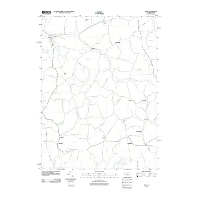
2010 Map of Sligo
USGS Topo · Published 2010About this map
Saint Charles Furnace stands as a prominent marker of early industrial history in this corner of Clarion County, situated along the banks of Leatherwood Creek. The borough of Sligo anchors the northwestern portion of the landscape, where the waters of Licking Creek and Little Licking Creek converge. The area is defined by a dense network of small settlements and named crossroads, including Curllsville, Churchville, and Leatherwood, reflecting a long-established rural community structure. Terrain features like Chestnut Ridge and McClays Peak overlook the winding valleys of Redbank Creek and its many tributaries. The mapping of numerous local roads, such as Reigel School Rd and Tin Town Rd, alongside landmarks like Squirrel Hill, offers a detailed record of the local geography and historical land use in Toby Township.
Find a feature on this map
67 named features on this map. Tap any name to fly to it.
Don’t see what you’re looking for? This feature index may not catch every label — zoom into the map to look around manually.
Map Details
Editions of this 2010 Sligo Map
This is the sole edition of this map. No revisions or reprints were ever made.
Other maps of this area

1900 · Kittanning
USGS Topo · 1:62,500

1901 · Rural Valley
USGS Topo · 1:62,500

1902 · Kittanning
USGS Topo · 1:62,500

1903 · Rural Valley
USGS Topo · 1:62,500

1906 · Clarion
USGS Topo · 1:62,500

1907 · Clarion
USGS Topo · 1:62,500

1907 · Foxburg
USGS Topo · 1:62,500

1908 · Foxburg
USGS Topo · 1:62,500

1953 · Pittsburgh
USGS Topo · 1:250,000

1954 · Pittsburgh
USGS Topo · 1:250,000