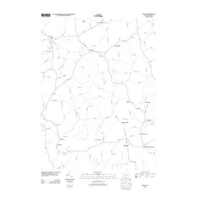
2013 Map of Sligo
USGS Topo · Published 2013About this map
Sligo serves as a primary hub in this portion of Clarion County, where the landscape is defined by the winding course of Licking Cr and the heights of McClays Peak. The area retains traces of its industrial and rural past, notably at Saint Charles Furnace near the banks of Redbank Cr. Small communities like Curllsville, Churchville, and Frostburg are connected by a network of local roads that follow the ridges and valleys, such as Chestnut Ridge and Myers Hill. The presence of Shannon Tipple Rd points to the region's history with resource extraction, while the concentration of settlements like Diamond and Wildcat along the southern creek systems illustrates the historical pattern of development tied to the local water and road networks. The terrain transitions from these upland peaks down to the Middle Run and Leatherwood Cr drainages, showing a traditional Pennsylvania settlement pattern shaped by both geology and geography.
Find a feature on this map
120 named features on this map. Tap any name to fly to it.
Don’t see what you’re looking for? This feature index may not catch every label — zoom into the map to look around manually.
Map Details
Editions of this 2013 Sligo Map
This is the sole edition of this map. No revisions or reprints were ever made.
Other maps of this area

1900 · Kittanning
USGS Topo · 1:62,500

1901 · Rural Valley
USGS Topo · 1:62,500

1902 · Kittanning
USGS Topo · 1:62,500

1903 · Rural Valley
USGS Topo · 1:62,500

1906 · Clarion
USGS Topo · 1:62,500

1907 · Clarion
USGS Topo · 1:62,500

1907 · Foxburg
USGS Topo · 1:62,500

1908 · Foxburg
USGS Topo · 1:62,500

1953 · Pittsburgh
USGS Topo · 1:250,000

1954 · Pittsburgh
USGS Topo · 1:250,000