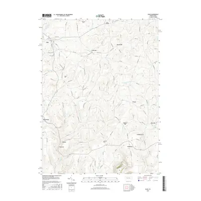
2016 Map of Sligo
USGS Topo · Published 2016About this map
Rimersburg and Sligo anchor this portion of southern Clarion County, where the landscape is defined by the deeply carved drainage basins of Licking Creek and Redbank Creek. The topography rises to distinct high points such as McClays Peak and the prominent Chestnut Ridge, illustrating the dissected plateau characteristic of the region. A network of rural settlements, including Curllsville, Churchville, and Leatherwood, is connected by a dense web of local roads like Shannon Tipple Rd and Chicken Farm Rd, which reflect the area's agricultural and industrial history. Along the southern border, the line between Clarion and Armstrong Counties follows the winding course of Redbank Creek, while smaller waterways like Fiddlers Run and Wildcat Run create a series of narrow valleys and ridges that have shaped local transport and land use for generations.
Find a feature on this map
56 named features on this map. Tap any name to fly to it.
Don’t see what you’re looking for? This feature index may not catch every label — zoom into the map to look around manually.
Map Details
Editions of this 2016 Sligo Map
This is the sole edition of this map. No revisions or reprints were ever made.
Other maps of this area

1900 · Kittanning
USGS Topo · 1:62,500

1901 · Rural Valley
USGS Topo · 1:62,500

1902 · Kittanning
USGS Topo · 1:62,500

1903 · Rural Valley
USGS Topo · 1:62,500

1906 · Clarion
USGS Topo · 1:62,500

1907 · Clarion
USGS Topo · 1:62,500

1907 · Foxburg
USGS Topo · 1:62,500

1908 · Foxburg
USGS Topo · 1:62,500

1953 · Pittsburgh
USGS Topo · 1:250,000

1954 · Pittsburgh
USGS Topo · 1:250,000