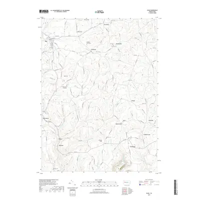
2019 Map of Sligo
USGS Topo · Published 2019About this map
Sligo and the surrounding townships in Clarion County are defined by a high plateau landscape deeply dissected by waterways like Licking Cr and Redbank Creek. The settlement pattern here is characterized by numerous small village clusters and a high density of historic burial grounds, many of which are associated with specific congregations such as the Curllsville Methodist Episcopal Cem and the Associated United Presbyterian Church Cem. The presence of the Clarion County Poorhouse Cem near McClays Peak provides a somber link to the region's social history and the 19th-century systems of local relief.
Find a feature on this map
142 named features on this map. Tap any name to fly to it.
Don’t see what you’re looking for? This feature index may not catch every label — zoom into the map to look around manually.
Map Details
Editions of this 2019 Sligo Map
This is the sole edition of this map. No revisions or reprints were ever made.
Other maps of this area

1900 · Kittanning
USGS Topo · 1:62,500

1901 · Rural Valley
USGS Topo · 1:62,500

1902 · Kittanning
USGS Topo · 1:62,500

1903 · Rural Valley
USGS Topo · 1:62,500

1906 · Clarion
USGS Topo · 1:62,500

1907 · Clarion
USGS Topo · 1:62,500

1907 · Foxburg
USGS Topo · 1:62,500

1908 · Foxburg
USGS Topo · 1:62,500

1953 · Pittsburgh
USGS Topo · 1:250,000

1954 · Pittsburgh
USGS Topo · 1:250,000