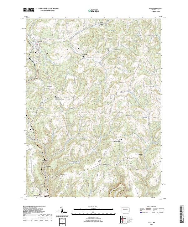
2023 Map of Sligo
USGS Topo · Published 2023About this map
Licking Creek and its many tributaries, including Little Licking Creek and Craggs Run, carve through this section of the Allegheny Plateau. The landscape is defined by traditional ridge-and-valley settlements like Curllsville, Churchville, and Squirrel Hill, which remain connected by a network of rural routes such as Rte 68 and Curllsville Rd. The presence of numerous denominational and community burial grounds, such as the Associated United Presbyterian Church Cem and the Clarion County Poorhouse Cem, speaks to the deep-rooted social and genealogical history of these upland townships.
Find a feature on this map
109 named features on this map. Tap any name to fly to it.
Don’t see what you’re looking for? This feature index may not catch every label — zoom into the map to look around manually.
Map Details
Editions of this 2023 Sligo Map
This is the sole edition of this map. No revisions or reprints were ever made.
Other maps of this area

1900 · Kittanning
USGS Topo · 1:62,500

1901 · Rural Valley
USGS Topo · 1:62,500

1902 · Kittanning
USGS Topo · 1:62,500

1903 · Rural Valley
USGS Topo · 1:62,500

1906 · Clarion
USGS Topo · 1:62,500

1907 · Clarion
USGS Topo · 1:62,500

1907 · Foxburg
USGS Topo · 1:62,500

1908 · Foxburg
USGS Topo · 1:62,500

1953 · Pittsburgh
USGS Topo · 1:250,000

1954 · Pittsburgh
USGS Topo · 1:250,000