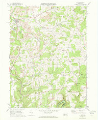
1969 Map of Sligo
USGS Topo · Published 1972About this map
Strip mines and numerous gas wells define the industrial landscape of Clarion County in the late 1960s, particularly around the boroughs of Sligo and Rimersburg. The Penn Central railroad winds through the terrain, serving the extraction economy and connecting smaller settlements like Curlsville and Leatherwood. While heavy industry is prominent, traditional community anchors remain, such as Licking Ch and Oak Grove Ch, alongside the prominent Squirrel Hill.
Find a feature on this map
50 named features on this map. Tap any name to fly to it.
Don’t see what you’re looking for? This feature index may not catch every label — zoom into the map to look around manually.
Map Details
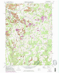
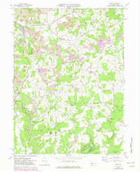
Editions of this 1969 Sligo Map
Other maps of this area

1900 · Kittanning
USGS Topo · 1:62,500

1901 · Rural Valley
USGS Topo · 1:62,500

1902 · Kittanning
USGS Topo · 1:62,500

1903 · Rural Valley
USGS Topo · 1:62,500

1906 · Clarion
USGS Topo · 1:62,500

1907 · Clarion
USGS Topo · 1:62,500

1907 · Foxburg
USGS Topo · 1:62,500

1908 · Foxburg
USGS Topo · 1:62,500

1953 · Pittsburgh
USGS Topo · 1:250,000

1954 · Pittsburgh
USGS Topo · 1:250,000