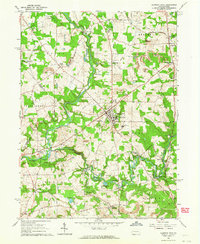
1961 Map of Slippery Rock
USGS Topo · Published 1964About this map
Slippery Rock State College stands at the center of this landscape, surrounded by a transition from collegiate life to the industrial and agricultural character of northern Slippery Rock and Brady townships. The meandering course of Wolf Creek and Slippery Rock Creek dictates the placement of early infrastructure, including numerous historical mill sites such as Courtneys Mills, Currys Mills, and Christleys Mills. This network of waterways is complemented by the Lake Erie and Bessemer Railroad and the Old Grade Road, reflecting the region's reliance on both rail and established overland routes for commerce.
Find a feature on this map
64 named features on this map. Tap any name to fly to it.
Don’t see what you’re looking for? This feature index may not catch every label — zoom into the map to look around manually.
Map Details
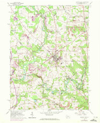
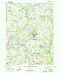
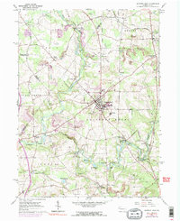
Editions of this 1961 Slippery Rock Map
4 editions found
Other maps of this area

1908 · Zelienople
USGS Topo · 1:62,500

1909 · Butler
USGS Topo · 1:62,500

1910 · Zelienople
USGS Topo · 1:62,500

1910 · Hilliards
USGS Topo · 1:62,500

1911 · Butler
USGS Topo · 1:62,500

1912 · Hilliards
USGS Topo · 1:62,500

1913 · Mercer
USGS Topo · 1:62,500

1939 · Mercer
USGS Topo · 1:62,500

1943 · Mercer
USGS Topo · 1:62,500

1944 · Hilliards
USGS Topo · 1:62,500
Featured Places
- Slippery Rock, PA
- Plain Grove Township, PA
- West Liberty, PA
- North Liberty, Liberty Township
- Forestville, PA