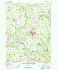
1961 Map of Slippery Rock
USGS Topo · Published 1990About this map
Slippery Rock Creek and Wolf Creek carve through this rural Butler County landscape, which by 1961 was defined by a mix of early industrial relics and academic growth. The campus of Slippery Rock State College sits at the heart of the region, surrounded by numerous historic milling sites including Courtneys Mills, Currys Mills, and Christleys Mills. These small water-powered nodes speak to an earlier era of local industry, while modern extraction is represented by strip mines and oil wells scattered across the township lines. The Bessemer and Lake Erie Railroad provides the primary transit artery, passing through settlements like Keister and Forestville. Genealogists will find significant detail in the locations of North Liberty Cem, West Liberty Cem, and Bethel Ch, alongside rural schoolhouses such as the Foltz Sch.
Find a feature on this map
67 named features on this map. Tap any name to fly to it.
Don’t see what you’re looking for? This feature index may not catch every label — zoom into the map to look around manually.
Map Details
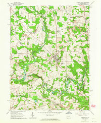
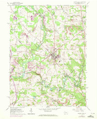
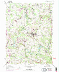
Editions of this 1961 Slippery Rock Map
4 editions found
Other maps of this area

1908 · Zelienople
USGS Topo · 1:62,500

1909 · Butler
USGS Topo · 1:62,500

1910 · Zelienople
USGS Topo · 1:62,500

1910 · Hilliards
USGS Topo · 1:62,500

1911 · Butler
USGS Topo · 1:62,500

1912 · Hilliards
USGS Topo · 1:62,500

1913 · Mercer
USGS Topo · 1:62,500

1939 · Mercer
USGS Topo · 1:62,500

1943 · Mercer
USGS Topo · 1:62,500

1944 · Hilliards
USGS Topo · 1:62,500
Featured Places
- Slippery Rock, PA
- Plain Grove Township, PA
- West Liberty, PA
- North Liberty, Liberty Township
- Forestville, PA