
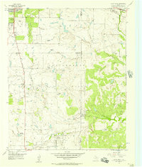
1956 Map of Sloop Creek
USGS Topo · Published 1957About this map
The Vogtsberger Oil Field dominates this section of the Texas landscape, where a dense network of oil wells, pipelines, and a Compressor Station speak to the mid-century energy production in the region. Situated at the junction of Wichita and Archer Counties, the terrain transitions from the edges of Wichita Falls in the northwest to sprawling ranch lands. Notable family-run operations include the McGregor Ranch, Vogtsberger Ranch, and Cook Ranch, illustrating the large-scale livestock and land holdings that defined North Texas at this time.
Find a feature on this map
25 named features on this map. Tap any name to fly to it.
Don’t see what you’re looking for? This feature index may not catch every label — zoom into the map to look around manually.
Map Details
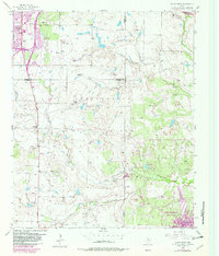
Editions of this 1956 Sloop Creek Map
Other maps of this area

1931 · Archer City
USGS Topo · 1:62,500

1954 · Wichita Falls
USGS Topo · 1:250,000

1956 · Lake Wichita
USGS Topo · 1:24,000

1957 · Wichita Falls West
USGS Topo · 1:24,000

1957 · Wichita Falls East
USGS Topo · 1:62,500

1957 · Wichita Falls East
USGS Topo · 1:24,000

1957 · Wichita Falls West
USGS Topo · 1:62,500

1958 · Wichita Falls
USGS Topo · 1:250,000

1963 · Deer Creek
USGS Topo · 1:24,000

1963 · Scotland
USGS Topo · 1:24,000