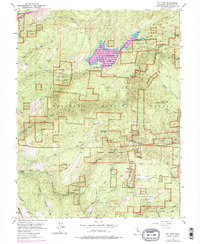
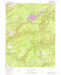
1952 Map of Sly Park
USGS Topo · Published 1975About this map
Grizzly Flat and the surrounding timberlands of the Eldorado National Forest define this mid-century view of the Sierra Nevada foothills. The landscape is in transition, notably marked by the planned expansion of Jenkinson Lake following the construction of the Sly Park Dam. Purple revisions indicate areas to be submerged, providing a specific record of the original terrain before the reservoir reached its full extent. Hardrock mining history is evident across the ridges, with numerous workings like the Hazel Creek Mine, Mt Hope Mine, and Blue Gouge Mine scattered between the drainages of Weber Creek and the North Fork Cosumnes River. Traditional water infrastructure is represented by the Crawford Ditch and a complex system of siphons and flumes, illustrating the intensive management of water for local industry and agriculture. High-elevation vantage points like Baltic Peak oversee a network of forest service sites, including the Sly Park Guard Station and Spring Flat.
Find a feature on this map
58 named features on this map. Tap any name to fly to it.
Don’t see what you’re looking for? This feature index may not catch every label — zoom into the map to look around manually.
Map Details
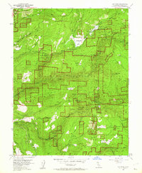
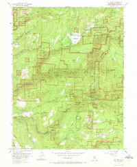
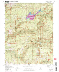
Editions of this 1952 Sly Park Map
5 editions found
Other maps of this area

1889 · Pyramid Peak
USGS Topo · 1:125,000

1891 · Placerville
USGS Topo · 1:125,000

1891 · Pyramid Peak
USGS Topo · 1:125,000

1892 · Placerville
USGS Topo · 1:125,000

1893 · Placerville
USGS Topo · 1:125,000

1895 · Pyramid Peak
USGS Topo · 1:125,000

1896 · Pyramid Peak
USGS Topo · 1:125,000

1947 · Sacramento
USGS Topo · 1:250,000

1948 · Sacramento
USGS Topo · 1:250,000

1950 · Riverton
USGS Topo · 1:24,000