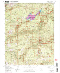
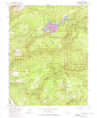
1952 Map of Sly Park
USGS Topo · Published 1975About this map
Jenkinson Lake serves as a focal point in this portion of the Eldorado National Forest, where the topography reflects a landscape shaped by water management and mid-century resource extraction. The map records a complex network of canyons and ridges, including Sturdevant Ridge and Baltic Ridge, carved by the North Fork Weber Creek and the Steely Fork Cosumnes River. A legacy of Gold Country enterprise is evident in the cluster of specialized mining sites such as the Hazel Creek Mine, Blue Gouge Mine, and Eagle King Mine. These operations, scattered among the peaks, suggest a era of deep-mountain industry that predates the recreational focus of Snowline Camp and Happy Valley. Notable infrastructure for the period includes the Sly Park Dam and the Sly Park Guard Sta, illustrating the transition from raw wilderness to a managed national forest system during the early 1950s.
Find a feature on this map
53 named features on this map. Tap any name to fly to it.
Don’t see what you’re looking for? This feature index may not catch every label — zoom into the map to look around manually.
Map Details
Editions of this 1952 Sly Park Map
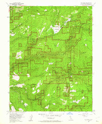
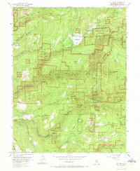
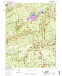
5 editions found
Other maps of this area

1889 · Pyramid Peak
USGS Topo · 1:125,000

1891 · Placerville
USGS Topo · 1:125,000

1891 · Pyramid Peak
USGS Topo · 1:125,000

1892 · Placerville
USGS Topo · 1:125,000

1893 · Placerville
USGS Topo · 1:125,000

1895 · Pyramid Peak
USGS Topo · 1:125,000

1896 · Pyramid Peak
USGS Topo · 1:125,000

1947 · Sacramento
USGS Topo · 1:250,000

1948 · Sacramento
USGS Topo · 1:250,000

1950 · Riverton
USGS Topo · 1:24,000