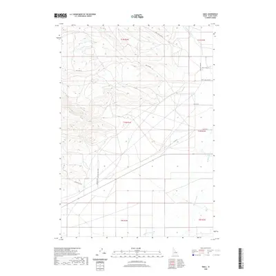
2020 Map of Small
USGS Topo · Published 2020About this map
The settlement of Small sits along the eastern edge of this landscape, where the high desert terrain of Clark County begins to transition into the drainages of the Beaverhead Mountains. The local economy is traced through family-named thoroughfares and ranching infrastructure, such as Small Ranch Rd and Eden Ranch Rd. The primary watercourse, Medicine Lodge Cr, flows southward through the eastern sections, paralleled by Medicine Lodge Rd.
Find a feature on this map
20 named features on this map. Tap any name to fly to it.
Don’t see what you’re looking for? This feature index may not catch every label — zoom into the map to look around manually.
Map Details
Editions of this 2020 Small Map
This is the sole edition of this map. No revisions or reprints were ever made.
Other maps of this area

1955 · Dubois
USGS Topo · 1:250,000

1957 · Paul Reservoir
USGS Topo · 1:62,500

1957 · Edie Ranch
USGS Topo · 1:62,500

1958 · Dubois
USGS Topo · 1:250,000

1964 · Lone Butte
USGS Topo · 1:24,000

1964 · Small
USGS Topo · 1:24,000

1964 · Cedar Butte SW
USGS Topo · 1:24,000

1964 · Cedar Butte SE
USGS Topo · 1:24,000

1969 · Lidy Hot Springs SE
USGS Topo · 1:24,000

1969 · Lidy Hot Springs
USGS Topo · 1:24,000