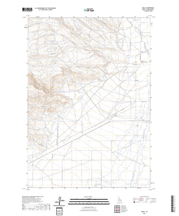
2023 Map of Small
USGS Topo · Published 2023About this map
Medicine Lodge Creek flows through this ranching landscape in northern Idaho, following a winding course that defines the eastern and southern edges of the quadrangle. The terrain is structured by a network of rural roads that mirror the local geography and land use, with many named for the families and landmarks they serve. Notable examples include Eden Ranch Rd and Small Ranch Rd, alongside the localized Small School Ln. To the north and west, the land rises into higher elevations where Deep Creek and its associated Deep Creek Rd cut through the hills. This 2023 survey illustrates the enduring patterns of Clark County's cattle-country infrastructure, where travel is dictated by canyons and hollows such as Small-Lake Hollow Rd and Grouse Hollow Rd.
Find a feature on this map
20 named features on this map. Tap any name to fly to it.
Don’t see what you’re looking for? This feature index may not catch every label — zoom into the map to look around manually.
Map Details
Editions of this 2023 Small Map
This is the sole edition of this map. No revisions or reprints were ever made.
Other maps of this area

1955 · Dubois
USGS Topo · 1:250,000

1957 · Paul Reservoir
USGS Topo · 1:62,500

1957 · Edie Ranch
USGS Topo · 1:62,500

1958 · Dubois
USGS Topo · 1:250,000

1964 · Lone Butte
USGS Topo · 1:24,000

1964 · Small
USGS Topo · 1:24,000

1964 · Cedar Butte SW
USGS Topo · 1:24,000

1964 · Cedar Butte SE
USGS Topo · 1:24,000

1969 · Lidy Hot Springs SE
USGS Topo · 1:24,000

1969 · Lidy Hot Springs
USGS Topo · 1:24,000