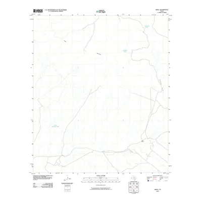
2010 Map of Small
USGS Topo · Published 2010About this map
The Finlay Mountains dominate this arid landscape in West Texas, where the terrain is defined by complex drainage systems and isolated ranching infrastructure. Arroyos and seasonal waterways such as Gardner Draw and the Lasca Branch carve through the earth, converging near the Lasca Rd corridor. This network of ephemeral streams underscores the importance of water management in the Chihuahuan Desert, evidenced by several strategically placed catchments.
Find a feature on this map
8 named features on this map. Tap any name to fly to it.
Don’t see what you’re looking for? This feature index may not catch every label — zoom into the map to look around manually.
Map Details
Editions of this 2010 Small Map
This is the sole edition of this map. No revisions or reprints were ever made.
Other maps of this area

1894 · Fort Hancock
USGS Topo · 1:125,000

1895 · Sierra Blanca
USGS Topo · 1:125,000

1943 · Fort Quitman
USGS Topo · 1:62,500

1943 · Finlay Mountains
USGS Topo · 1:62,500

1948 · Triple Hill
USGS Topo · 1:62,500

1954 · Van Horn
USGS Topo · 1:250,000

1958 · Van Horn
USGS Topo · 1:250,000

1964 · Lasca
USGS Topo · 1:24,000
1972 · Silver King Canyon
USGS Topo · 1:24,000
1972 · Campo Grande Mountain
USGS Topo · 1:24,000