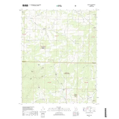
2017 Map of Smallett
USGS Topo · Published 2017About this map
The Little N Fork White River carves through the central Ozark hills on the boundary of Douglas and Ozark Counties, anchoring a landscape of deep hollows and named ridges. Within the protected boundaries of the Mark Twain National Forest, numerous family-named landmarks such as Haden Bald and Prieskon Ridge rise above the drainage basins of Otter Cr and Bear Br.
Find a feature on this map
84 named features on this map. Tap any name to fly to it.
Don’t see what you’re looking for? This feature index may not catch every label — zoom into the map to look around manually.
Map Details
Editions of this 2017 Smallett Map
This is the sole edition of this map. No revisions or reprints were ever made.
Other maps of this area

1936 · Thornfield
USGS Topo · 1:48,000

1936 · Ava
USGS Topo · 1:48,000

1937 · Bradleyville
USGS Topo · 1:48,000

1942 · Ava
USGS Topo · 1:62,500

1943 · Protem
USGS Topo · 1:62,500

1943 · Thornfield
USGS Topo · 1:62,500

1943 · Bradleyville
USGS Topo · 1:62,500

1945 · Ava
USGS Topo · 1:62,500

1945 · Harrison
USGS Topo · 1:250,000

1945 · Thornfield
USGS Topo · 1:62,500