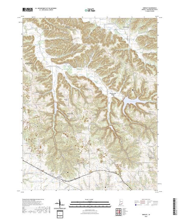
2022 Map of Smedley
USGS Topo · Published 2022About this map
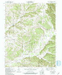
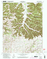
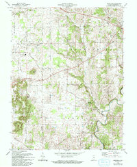
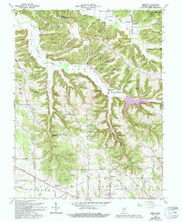
The Mitchell Plain region of Washington County is defined by a complex network of ridges and watercourses, including the prominent Fleener Ridge and Walnut Ridge. Small rural settlements like Smedley, Hitchcock, and Prowsville anchor the landscape, connected by a dense grid of local roads such as W Cox Ferry Rd and Prowsville Rd. The hydrography of the area is particularly distinct, featuring the meandering Lost River and its North Fork, alongside the impounded waters of John Hays Lake.
Find a feature on this map
65 named features on this map. Tap any name to fly to it.
Don’t see what you’re looking for? This feature index may not catch every label — zoom into the map to look around manually.
Map Details
Editions of this 2022 Smedley Map
This is the sole edition of this map. No revisions or reprints were ever made.
Historical Maps of Haleysburg Through Time
11 maps found
1950 Becks Mill
Washington County, IN
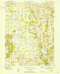
1951 Smedley
Washington County, IN
1953 Kossuth
Washington County, IN
1955 South Boston
Washington County, IN
1963 Kossuth
Washington County, IN
1966 Becks Mill
Washington County, IN
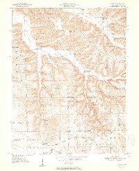
1966 Smedley
Washington County, IN
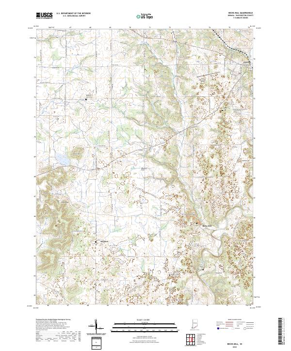
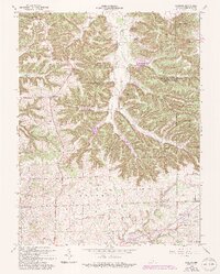
2022 Becks Mill
Washington County, IN
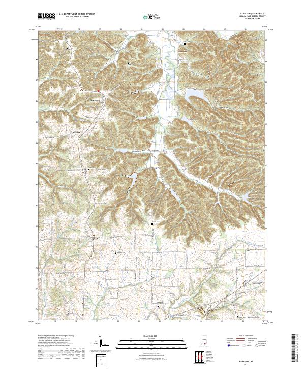
2022 Kossuth
Washington County, IN
2022 Smedley
Washington County, IN
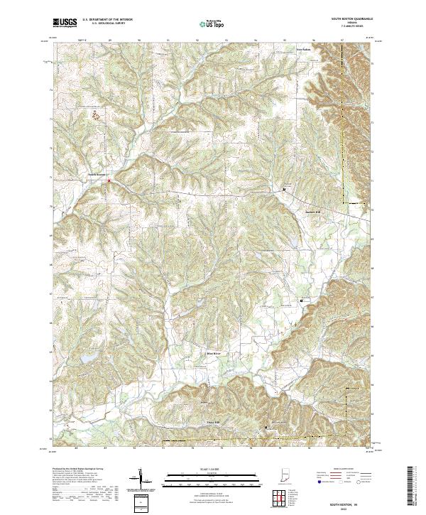
2022 South Boston
Washington County, IN