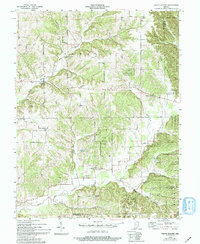
1955 Map of South Boston
USGS Topo · Published 1994About this map
Clark State Forest covers a significant portion of this landscape in southern Indiana, where the terrain is carved by the intricate drainage systems of the Blue River. The mid-1950s settlement pattern shows a rural society centered around small church congregations and country schools, such as Franklin Sch in the north and Polk Sch to the south. Small communities like South Boston and New Salem anchor the road network, while smaller hamlets such as Harris and Conoway sit at key intersections. The map preserves the locations of several community landmarks, including Olive Branch Ch and Bunker Hill Ch, alongside resting places like Chestnut Hill Cem. This topography reflects the transition between early frontier farming and the emergence of state-managed forest lands during the mid-20th century.
Find a feature on this map
30 named features on this map. Tap any name to fly to it.
Don’t see what you’re looking for? This feature index may not catch every label — zoom into the map to look around manually.
Map Details
Editions of this 1955 South Boston Map
4 editions found

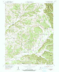
Other maps of this area

1938 · Speed
USGS Topo · 1:24,000

1941 · Borden
USGS Topo · 1:24,000

1947 · Speed
USGS Topo · 1:24,000

1947 · Scottsburg
USGS Topo · 1:24,000

1949 · Henryville
USGS Topo · 1:24,000

1950 · Salem
USGS Topo · 1:24,000

1950 · Palmyra
USGS Topo · 1:24,000

1953 · Kossuth
USGS Topo · 1:24,000

1955 · South Boston
USGS Topo · 1:24,000

1956 · Vincennes
USGS Topo · 1:250,000