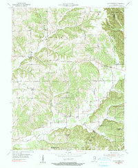
1955 Map of South Boston
USGS Topo · Published 1991About this map
Clark State Forest dominates the eastern and central ridges of this mid-century landscape where Washington, Scott, and Clark Counties meet. The terrain is defined by the winding course of the Middle Fork Blue River and its numerous tributaries, including Lockwood Branch and Springle Creek. Small rural crossroads like South Boston and New Salem serve as local anchors, connected by a network of winding roads and the prominent state route 160.
Find a feature on this map
36 named features on this map. Tap any name to fly to it.
Don’t see what you’re looking for? This feature index may not catch every label — zoom into the map to look around manually.
Map Details
Editions of this 1955 South Boston Map
4 editions found

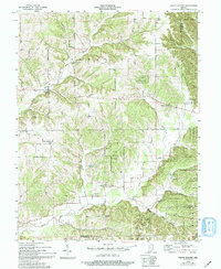
Other maps of this area

1938 · Speed
USGS Topo · 1:24,000

1941 · Borden
USGS Topo · 1:24,000

1947 · Speed
USGS Topo · 1:24,000

1947 · Scottsburg
USGS Topo · 1:24,000

1949 · Henryville
USGS Topo · 1:24,000

1950 · Salem
USGS Topo · 1:24,000

1950 · Palmyra
USGS Topo · 1:24,000

1953 · Kossuth
USGS Topo · 1:24,000

1955 · South Boston
USGS Topo · 1:24,000

1956 · Vincennes
USGS Topo · 1:250,000