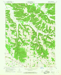
1966 Map of Smedley
USGS Topo · Published 1968About this map
McKinley and Haleysbury anchor the northern reaches of this mid-century survey of Washington County, Indiana, where the terrain transitions from the wooded ridges of the Jackson-Washington State Forest to the productive bottomlands of Fleener Creek and Rush Creek. The southern portion of the sheet is dominated by the Monon railroad corridor, which connects the small rail stops of Smedley and Hitchcock. This era captures a landscape dense with rural infrastructure, including numerous family and community landmarks like the Covenanter Cem, Four Corners Sch, and the Highland Friends Ch. The map provides an intricate view of local transit history, documenting the course of Cox Ferry Road and the scattered homes along Prow Hollow. From the hilltop location of Mount Carmel Ridge to the banks of the North Fork Lost River, the map preserves a detailed record of established church congregations and remote schoolhouses before the consolidation of the late 20th century.
Find a feature on this map
53 named features on this map. Tap any name to fly to it.
Don’t see what you’re looking for? This feature index may not catch every label — zoom into the map to look around manually.
Map Details
Editions of this 1966 Smedley Map
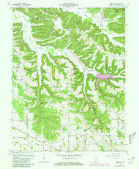
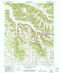
3 editions found
Other maps of this area

1934 · Bedford
USGS Topo · 1:48,000

1937 · Bedford
USGS Topo · 1:62,500

1950 · Salem
USGS Topo · 1:24,000

1950 · Becks Mill
USGS Topo · 1:24,000

1951 · Smedley
USGS Topo · 1:24,000

1953 · Kossuth
USGS Topo · 1:24,000

1956 · Vincennes
USGS Topo · 1:250,000

1957 · Vincennes
USGS Topo · 1:250,000

1957 · Campbellsburg
USGS Topo · 1:24,000

1957 · Livonia
USGS Topo · 1:24,000