2016 Map of Smeltertown
USGS Topo · Published 2016About this map
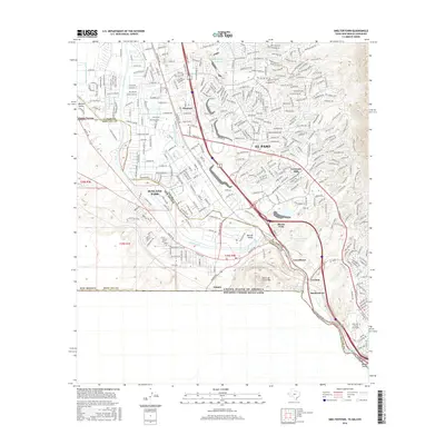
The Rio Grande serves as the central artery and international boundary in this 2016 survey of the borderlands where Texas, New Mexico, and Mexico converge. The map documents the industrial and residential corridors of West El Paso and southern Doña Ana County, highlighting the transition from the steep slopes of Sierra de Cristo Rey to the river valley floor. Historic industrial footprints are evident at Smeltertown and Courchesne, while the neighboring communities of Sunland Park and Anapra reflect the trans-border connectivity of the region. Local water management is represented by an extensive system of laterals and drains, including the Montoya Main Lateral and Borderland Spur Drain, which support the agricultural legacy of the Mesilla Valley. Modern residential development is visible in the suburban expansion of Santa Teresa and Coronado Hills, illustrating the continued growth of this high-desert urban landscape.
Find a feature on this map
43 named features on this map. Tap any name to fly to it.
Don’t see what you’re looking for? This feature index may not catch every label — zoom into the map to look around manually.
Map Details
Editions of this 2016 Smeltertown Map
This is the sole edition of this map. No revisions or reprints were ever made.
Other maps of this area

1896 · El Paso
USGS Topo · 1:125,000

1908 · El Paso
USGS Topo · 1:125,000

1917 · Canutillo
USGS Topo · 1:62,500

1919 · Canutillo
USGS Topo · 1:62,500

1939 · Ysleta
USGS Topo · 1:62,500

1941 · El Paso
USGS Topo · 1:31,680

1941 · Ysleta
USGS Topo · 1:62,500

1942 · Fort Bliss
USGS Topo · 1:62,500

1943 · El Paso
USGS Topo · 1:31,680

1945 · Ysleta
USGS Topo · 1:62,500