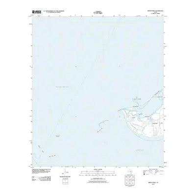
2010 Map of Smith Point
USGS Topo · Published 2010About this map
Smith Point stands as a prominent coastal landmark at the convergence of three major Texas waterways: Galveston Bay, Trinity Bay, and East Bay. This coastal landscape is defined by the shallow waters and shoals of Red Fish Bar and Middle Pass, which dictate the maritime navigation patterns of the region. The map captures the specialized infrastructure of the Gulf Coast energy industry, highlighting the offshore footprints of the Smith Point Oil Field and the Redfish Reef Oil Field.
Find a feature on this map
21 named features on this map. Tap any name to fly to it.
Don’t see what you’re looking for? This feature index may not catch every label — zoom into the map to look around manually.
Map Details
Editions of this 2010 Smith Point Map
This is the sole edition of this map. No revisions or reprints were ever made.
Other maps of this area

1916 · Morgan Point
USGS Topo · 1:24,000

1919 · Morgan Point
USGS Topo · 1:31,680

1929 · Texas City
USGS Topo · 1:24,000

1931 · Flake
USGS Topo · 1:24,000

1932 · Clifton By The Sea
USGS Topo · 1:31,680

1932 · Texas City
USGS Topo · 1:31,680

1932 · Bolivar Point
USGS Topo · 1:24,000

1933 · Whites Lake
USGS Topo · 1:31,680

1933 · Smith Point
USGS Topo · 1:31,680

1933 · Bolivar Point
USGS Topo · 1:31,680