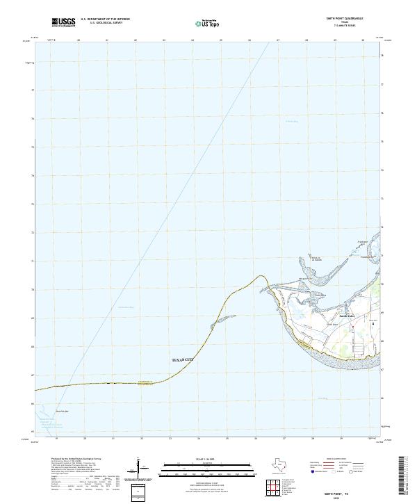
2022 Map of Smith Point
USGS Topo · Published 2022About this map
Smith Point occupies a strategic peninsula where the waters of Trinity Bay, Galveston Bay, and East Bay converge. This 2022 survey illustrates the contemporary layout of the coastal community, which is centered on a grid of local roads such as Asa John St and Smith Point Rd. The landscape is defined by its maritime environment, featuring prominent landmarks like Morgan Point, Trout Point, and the chain of Vingt-et-un Islands situated just offshore.
Find a feature on this map
26 named features on this map. Tap any name to fly to it.
Don’t see what you’re looking for? This feature index may not catch every label — zoom into the map to look around manually.
Map Details
Editions of this 2022 Smith Point Map
This is the sole edition of this map. No revisions or reprints were ever made.
Other maps of this area

1916 · Morgan Point
USGS Topo · 1:24,000

1919 · Morgan Point
USGS Topo · 1:31,680

1929 · Texas City
USGS Topo · 1:24,000

1931 · Flake
USGS Topo · 1:24,000

1932 · Clifton By The Sea
USGS Topo · 1:31,680

1932 · Texas City
USGS Topo · 1:31,680

1932 · Bolivar Point
USGS Topo · 1:24,000

1933 · Whites Lake
USGS Topo · 1:31,680

1933 · Smith Point
USGS Topo · 1:31,680

1933 · Bolivar Point
USGS Topo · 1:31,680