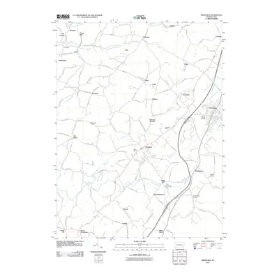
2010 Map of Smithfield
USGS Topo · Published 2010About this map
Smithfield serves as a central hub in this corner of Fayette County, where the topography transitions from the agricultural lowlands of Georges Creek toward the rising elevations of Mountain Creek. The landscape is a complex network of small settlements and historical crossroads including York Run, Haydentown, and Shoaf. Small-scale aviation is represented by Miller Airport and Skala Airport, while family history and local industry are marked by sites like Ruble Mill and the Saint Josephs Cemetery near Fairchance. A dense grid of rural roads, such as Lutheran Church Rd and Smithfield Old Farm Rd, connects scattered hamlets like Old Frame, Outcrop, and White House. The map documents a classic Western Pennsylvania pattern of valley-bottom development and hillside mining towns, where the drainages of South Branch Browns Run and Jacobs Creek historically shaped the movement and settlement of the population.
Find a feature on this map
118 named features on this map. Tap any name to fly to it.
Don’t see what you’re looking for? This feature index may not catch every label — zoom into the map to look around manually.
Map Details
Editions of this 2010 Smithfield Map
This is the sole edition of this map. No revisions or reprints were ever made.
Other maps of this area

1900 · Uniontown
USGS Topo · 1:62,500

1900 · Masontown
USGS Topo · 1:62,500

1902 · Morgantown
USGS Topo · 1:62,500

1903 · Masontown
USGS Topo · 1:62,500

1904 · Bruceton
USGS Topo · 1:62,500

1925 · Morgantown
USGS Topo · 1:62,500

1926 · Bruceton
USGS Topo · 1:62,500

1931 · Uniontown
USGS Topo · 1:62,500

1931 · Masontown
USGS Topo · 1:62,500

1931 · Bruceton Mills
USGS Topo · 1:62,500