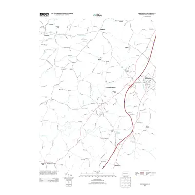
2013 Map of Smithfield
USGS Topo · Published 2013About this map
Smithfield serves as a central hub in this Pennsylvania landscape, where the confluence of Gossip Run and York Run meets a dense network of local roads. The map illustrates a complex pattern of small settlements and hollows typical of Fayette County, ranging from the borough of Fairchance to smaller locales like Haydentown and Old Frame. The presence of Ruble Mill and numerous family-named landmarks like Dugan Hill and Goodwin Knob suggest a long history of local industry and land ownership.
Find a feature on this map
173 named features on this map. Tap any name to fly to it.
Don’t see what you’re looking for? This feature index may not catch every label — zoom into the map to look around manually.
Map Details
Editions of this 2013 Smithfield Map
This is the sole edition of this map. No revisions or reprints were ever made.
Other maps of this area

1900 · Uniontown
USGS Topo · 1:62,500

1900 · Masontown
USGS Topo · 1:62,500

1902 · Morgantown
USGS Topo · 1:62,500

1903 · Masontown
USGS Topo · 1:62,500

1904 · Bruceton
USGS Topo · 1:62,500

1925 · Morgantown
USGS Topo · 1:62,500

1926 · Bruceton
USGS Topo · 1:62,500

1931 · Uniontown
USGS Topo · 1:62,500

1931 · Masontown
USGS Topo · 1:62,500

1931 · Bruceton Mills
USGS Topo · 1:62,500