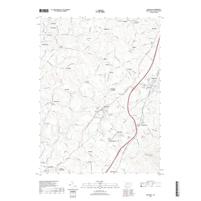
2019 Map of Smithfield
USGS Topo · Published 2019About this map
Smithfield serves as a central hub for this corner of Fayette County, where several historic roads and local runs converge. The landscape is dotted with small settlements like Shoaf, Outcrop, and Leckrone, illustrating the dense network of rural communities that defined this region. For those tracing family histories, the map is remarkably dense with burial sites and houses of worship, including the Swearingen's Fort Burial Site and several family-named locations such as the Jones Family Cem and Conn Family Cem. The terrain is shaped by the valleys of Georges Creek and York Run, which flow toward the more industrialized corridors near Fairchance. Significant local landmarks like Ruble Mill and the York Run Junction highlight the area's agricultural and transit roots, while the numerous cemeteries, from the Mount Moriah Baptist Cem to the Rhodes Swaney Cem, provide a precise spatial record of the township's long-standing residents.
Find a feature on this map
80 named features on this map. Tap any name to fly to it.
Don’t see what you’re looking for? This feature index may not catch every label — zoom into the map to look around manually.
Map Details
Editions of this 2019 Smithfield Map
This is the sole edition of this map. No revisions or reprints were ever made.
Other maps of this area

1900 · Uniontown
USGS Topo · 1:62,500

1900 · Masontown
USGS Topo · 1:62,500

1902 · Morgantown
USGS Topo · 1:62,500

1903 · Masontown
USGS Topo · 1:62,500

1904 · Bruceton
USGS Topo · 1:62,500

1925 · Morgantown
USGS Topo · 1:62,500

1926 · Bruceton
USGS Topo · 1:62,500

1931 · Uniontown
USGS Topo · 1:62,500

1931 · Masontown
USGS Topo · 1:62,500

1931 · Bruceton Mills
USGS Topo · 1:62,500