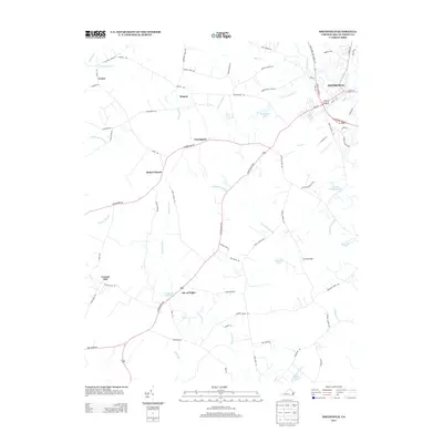
2013 Map of Smithfield
USGS Topo · Published 2013About this map
Smithfield and its historic riverfront orientation along the Pagan River anchor this 2013 survey of Isle of Wight County. The landscape is defined by its intricate drainage network, where named wetlands such as Comet Swamp, Champion Swamp, and Rattlesnake Swamp separate distinct rural communities. Small, long-standing settlements like Magnet, Foursquare, and Central Hill are connected by a web of traditional roads, including Foursquare Rd and Courthouse Hwy.
Find a feature on this map
78 named features on this map. Tap any name to fly to it.
Don’t see what you’re looking for? This feature index may not catch every label — zoom into the map to look around manually.
Map Details
Editions of this 2013 Smithfield Map
This is the sole edition of this map. No revisions or reprints were ever made.
Other maps of this area

1907 · Yorktown
USGS Topo · 1:62,500

1919 · Smithfield
USGS Topo · 1:62,500

1919 · Surry
USGS Topo · 1:62,500

1920 · Ivor
USGS Topo · 1:62,500

1943 · Yorktown
USGS Topo · 1:62,500

1943 · Richmond
USGS Topo · 1:250,000

1944 · Windsor
USGS Topo · 1:31,680

1944 · Smithfield
USGS Topo · 1:24,000

1944 · Raynor
USGS Topo · 1:24,000

1944 · Zuni
USGS Topo · 1:24,000