Loading...
Loading map...2022 Map of Smithfield
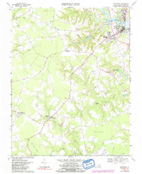
USGS Topo · Published 2022About this map
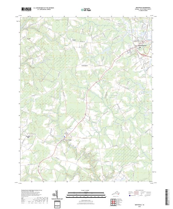
The town of Smithfield and the nearby Isle of Wight government center anchor this modern survey of Virginia's Tidewater region. The landscape is defined by its complex hydrography, where the Pagan River gives way to a dense network of wetlands including Comet Swamp, Rattlesnake Swamp, and Champion Swamp. These water systems have historically shaped the settlement patterns of outlying hamlets like Comet, Magnet, and Foursquare.
Find a feature on this map
96 named features on this map. Tap any name to fly to it.
Don’t see what you’re looking for? This feature index may not catch every label — zoom into the map to look around manually.
Map Details
Date Portrayed2022
Date Published2022
PublisherU.S. Geological Survey
Map TypeTopographic
Scale1:24000
Physical Dimensions24 x 29 inches
Editions of this 2022 Smithfield Map
This is the sole edition of this map. No revisions or reprints were ever made.
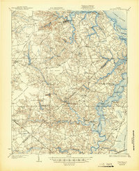
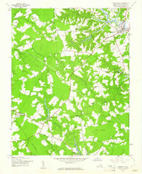
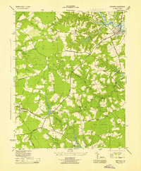
Historical Maps of Central Hill Through Time
5 maps found
Featured Locations
Source Details
SourceU.S. Geological Survey
CopyrightPublic Domain