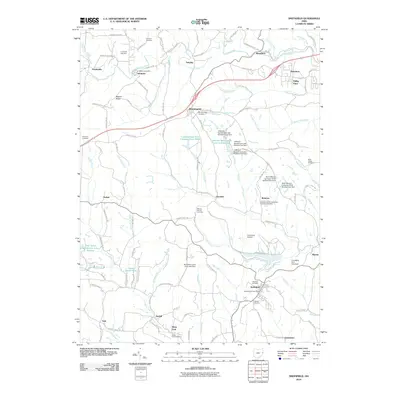
2010 Map of Smithfield
USGS Topo · Published 2010About this map
Cross Creek and its many tributaries, including North Branch Cross Creek and Little McIntyre Creek, define the landscape of this Jefferson County region. Small settlements and rural community centers are scattered throughout, from Unionport in the northwest to Smithfield in the southeast. Significant industrial and recreational water features are prominent, such as the Consolidation Coal Company Pond 0206 and a series of reservoirs including Jefferson Sportsmens Lake Number One.
Find a feature on this map
116 named features on this map. Tap any name to fly to it.
Don’t see what you’re looking for? This feature index may not catch every label — zoom into the map to look around manually.
Map Details
Editions of this 2010 Smithfield Map
This is the sole edition of this map. No revisions or reprints were ever made.
Other maps of this area

1901 · Cadiz
USGS Topo · 1:62,500

1902 · Wheeling
USGS Topo · 1:62,500

1903 · Cadiz
USGS Topo · 1:62,500

1904 · Steubenville
USGS Topo · 1:62,500

1905 · St. Clairsville
USGS Topo · 1:62,500

1935 · Wheeling
USGS Topo · 1:62,500

1935 · Steubenville
USGS Topo · 1:62,500

1942 · Wheeling
USGS Topo · 1:62,500

1942 · Steubenville
USGS Topo · 1:62,500

1951 · Canton
USGS Topo · 1:250,000