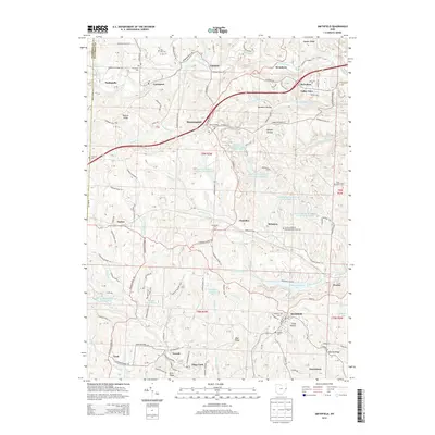
2013 Map of Smithfield
USGS Topo · Published 2013About this map
Smithfield sits at the heart of this Jefferson County survey, surrounded by a complex landscape of coal mining operations and quiet country settlements. The industrial footprint of the region is evident through facilities like the Boich Mining Company Pond Number One and the Consolidation Coal Company Pond 0206, which dot the terrain alongside natural watercourses like McIntyre Cr and Piney Fork. This intersection of heavy industry and small-town life is a defining characteristic of the area, where large-scale ponds and extraction sites neighbor long-standing local landmarks.
Find a feature on this map
163 named features on this map. Tap any name to fly to it.
Don’t see what you’re looking for? This feature index may not catch every label — zoom into the map to look around manually.
Map Details
Editions of this 2013 Smithfield Map
This is the sole edition of this map. No revisions or reprints were ever made.
Other maps of this area

1901 · Cadiz
USGS Topo · 1:62,500

1902 · Wheeling
USGS Topo · 1:62,500

1903 · Cadiz
USGS Topo · 1:62,500

1904 · Steubenville
USGS Topo · 1:62,500

1905 · St. Clairsville
USGS Topo · 1:62,500

1935 · Wheeling
USGS Topo · 1:62,500

1935 · Steubenville
USGS Topo · 1:62,500

1942 · Wheeling
USGS Topo · 1:62,500

1942 · Steubenville
USGS Topo · 1:62,500

1951 · Canton
USGS Topo · 1:250,000