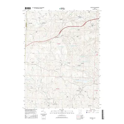
2016 Map of Smithfield
USGS Topo · Published 2016About this map
Smithfield serves as a central hub for this portion of Jefferson County, where the industrial legacy of the region is etched into the landscape through features like the Consolidation Coal Company Pond 0206 and Boich Mining Company Pond Number Two. The map details a network of ridges and hollows, including Quaker Ridge and Opossum Hollow, which have dictated the placement of small settlements and family cemeteries for generations.
Find a feature on this map
164 named features on this map. Tap any name to fly to it.
Don’t see what you’re looking for? This feature index may not catch every label — zoom into the map to look around manually.
Map Details
Editions of this 2016 Smithfield Map
This is the sole edition of this map. No revisions or reprints were ever made.
Other maps of this area

1901 · Cadiz
USGS Topo · 1:62,500

1902 · Wheeling
USGS Topo · 1:62,500

1903 · Cadiz
USGS Topo · 1:62,500

1904 · Steubenville
USGS Topo · 1:62,500

1905 · St. Clairsville
USGS Topo · 1:62,500

1935 · Wheeling
USGS Topo · 1:62,500

1935 · Steubenville
USGS Topo · 1:62,500

1942 · Wheeling
USGS Topo · 1:62,500

1942 · Steubenville
USGS Topo · 1:62,500

1951 · Canton
USGS Topo · 1:250,000