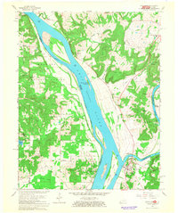
1967 Map of Smithland
USGS Topo · Published 1968About this map
The Ohio River and Cumberland River converge at Smithland, creating a complex aquatic landscape of islands and towheads. This 1967 revision shows the intricate relationship between the river-bottom economy and the surrounding uplands, such as Lewis Hill and Japanese Hill. Large river features like Stewart Island, Dog Island, and Cumberland Island dominate the navigation channel, while the interior is dotted with extractive industries, including the Dyer Hill Mine and several quarries.
Find a feature on this map
63 named features on this map. Tap any name to fly to it.
Don’t see what you’re looking for? This feature index may not catch every label — zoom into the map to look around manually.
Map Details
Editions of this 1967 Smithland Map
2 editions found
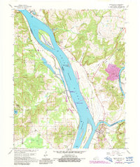
Other maps of this area

1916 · Golconda
USGS Topo · 1:62,500

1917 · Brownfield
USGS Topo · 1:62,500

1920 · Goloonda
USGS Topo · 1:48,000

1921 · Golconda
USGS Topo · 1:62,500

1926 · Paducah
USGS Topo · 1:62,500

1929 · Smithland
USGS Topo · 1:62,500

1929 · Paducah
USGS Topo · 1:62,500

1936 · Paducah
USGS Topo · 1:24,000

1936 · Smithland
USGS Topo · 1:48,000
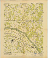
1936 · Calvert City
USGS Topo · 1:24,000