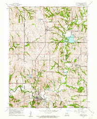
1961 Map of Smithville
USGS Topo · Published 1962About this map
Smithville serves as the primary hub in this 1961 survey, situated at the confluence of several key waterways including the Platte River and Wilkerson Creek. The landscape is defined by its complex drainage system and numerous small lakes such as Kings Lake and Lake Remote, reflecting a region managed for both water resources and recreation. Evidence of past transportation infrastructure is visible in the Old Railroad Grade passing through Trimble, while the expansive Trimble Wildlife Management Area occupies a significant portion of the northeastern terrain.
Find a feature on this map
39 named features on this map. Tap any name to fly to it.
Don’t see what you’re looking for? This feature index may not catch every label — zoom into the map to look around manually.
Map Details
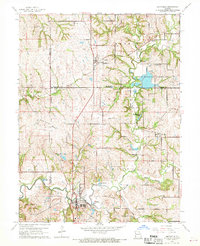
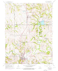
Editions of this 1961 Smithville Map
Other maps of this area

1890 · Kansas City
USGS Topo · 1:125,000

1894 · Kansas City
USGS Topo · 1:125,000

1894 · Independence
USGS Topo · 1:125,000

1914 · Smithville
USGS Topo · 1:62,500

1925 · Gower
USGS Topo · 1:62,500

1925 · Plattsburg
USGS Topo · 1:62,500

1936 · Kearney
USGS Topo · 1:48,000

1942 · Kearney
USGS Topo · 1:62,500

1945 · Kearney
USGS Topo · 1:62,500
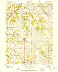
1948 · Nashua
USGS Topo · 1:24,000