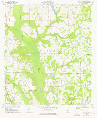
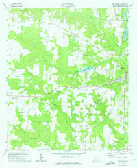
1973 Map of Smithville East
USGS Topo · Published 1976About this map
Muckalee Creek dominates the center of this terrain, its wide floodplains carving a north-south path through the Georgia countryside. Near the Sumter and Lee county line, the landscape is defined by its rural heritage, anchored by the town of Smithville. A network of unpaved roads and distinct family landmarks like the Anthony Cem and Deldrich Cem reflect generations of local settlement. The drainage patterns of Boggy Branch and Philema Creek feed into larger systems, while the presence of the Smithville Lookout Tower and a localized Landing Strip indicate the functional infrastructure of the early 1970s.
Find a feature on this map
25 named features on this map. Tap any name to fly to it.
Don’t see what you’re looking for? This feature index may not catch every label — zoom into the map to look around manually.
Map Details
Editions of this 1973 Smithville East Map
2 editions found
Other maps of this area

1953 · Dothan
USGS Topo · 1:250,000

1954 · Dothan
USGS Topo · 1:250,000

1955 · Dothan
USGS Topo · 1:250,000

1955 · Phenix City
USGS Topo · 1:250,000

1956 · Leslie
USGS Topo · 1:62,500

1957 · Phenix City
USGS Topo · 1:250,000

1958 · Phenix City
USGS Topo · 1:250,000
1972 · Methvins
USGS Topo · 1:24,000
1973 · Americus
USGS Topo · 1:24,000
1973 · Lake Collins
USGS Topo · 1:24,000