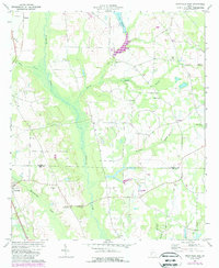
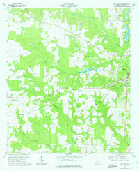
1973 Map of Smithville East
USGS Topo · Published 1988About this map
The low-lying wetlands of Muckalee Creek dominate this 1970s landscape, marking a clear natural boundary near the border of Sumter Co and Lee Co. The town of Smithville serves as the primary hub in the southwest, where the local terrain transitions into the winding paths of Muckaloochee Creek. Land use is characterized by rural agricultural plots and scattered community centers, with several small congregations like New Kovent Ch and Shady Grove Ch anchoring the rural road network.
Find a feature on this map
23 named features on this map. Tap any name to fly to it.
Don’t see what you’re looking for? This feature index may not catch every label — zoom into the map to look around manually.
Map Details
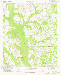
Editions of this 1973 Smithville East Map
2 editions found
Other maps of this area

1953 · Dothan
USGS Topo · 1:250,000

1954 · Dothan
USGS Topo · 1:250,000

1955 · Dothan
USGS Topo · 1:250,000

1955 · Phenix City
USGS Topo · 1:250,000

1956 · Leslie
USGS Topo · 1:62,500

1957 · Phenix City
USGS Topo · 1:250,000

1958 · Phenix City
USGS Topo · 1:250,000
1972 · Methvins
USGS Topo · 1:24,000
1973 · Americus
USGS Topo · 1:24,000
1973 · Lake Collins
USGS Topo · 1:24,000