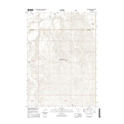
2015 Map of Smithwick NE
USGS Topo · Published 2015About this map
Buffalo Gap National Grassland dominates this portion of the South Dakota landscape, where the Cheyenne River winds through the northwestern corner. The terrain is defined by a series of significant canyons and plateaus, including Jim Wilson Canyon, First Black Canyon, and the distinctively named Squaw-Humper Table. The White River Divide passes through the southern reaches of the quadrangle, marking a primary topographic boundary in the region.
Find a feature on this map
21 named features on this map. Tap any name to fly to it.
Don’t see what you’re looking for? This feature index may not catch every label — zoom into the map to look around manually.
Map Details
Editions of this 2015 Smithwick NE Map
This is the sole edition of this map. No revisions or reprints were ever made.
Other maps of this area

1894 · Hermosa
USGS Topo · 1:125,000

1896 · Oelrichs
USGS Topo · 1:125,000

1900 · Oelrichs
USGS Topo · 1:125,000

1901 · Hermosa
USGS Topo · 1:125,000

1951 · Fairburn SE
USGS Topo · 1:24,000

1951 · Willow Creek NW
USGS Topo · 1:24,000

1951 · Red Shirt SW
USGS Topo · 1:24,000

1951 · Smithwick NE
USGS Topo · 1:24,000

1951 · Smithwick NW
USGS Topo · 1:24,000

1955 · Hot Springs
USGS Topo · 1:250,000