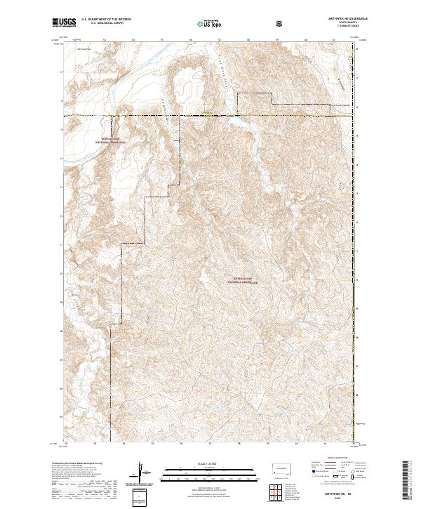
2021 Map of Smithwick NE
USGS Topo · Published 2021About this map
Buffalo Gap National Grassland dominates the landscape of this southwestern South Dakota quadrangle, where the Cheyenne River cuts across the northwest corner near Harrison Flat. The terrain is defined by a network of drainage systems, including Lame Johnny Cr and W Fork Willow Cr, which have carved numerous canyons into the high plains. A notable survey point is marked at Tahc'a Okute Aglehan in the northeast. The map records the interface between Custer and Fall River counties, highlighting the sparse road network consisting of local routes like Williams Pl and Riverside Rd. This 2021 survey provides a clear view of the complex topography within the national grassland, from the deep incisions of Jim Wilson Canyon to the broader expanse of Spring Canyon.
Find a feature on this map
22 named features on this map. Tap any name to fly to it.
Don’t see what you’re looking for? This feature index may not catch every label — zoom into the map to look around manually.
Map Details
Editions of this 2021 Smithwick NE Map
This is the sole edition of this map. No revisions or reprints were ever made.
Other maps of this area

1894 · Hermosa
USGS Topo · 1:125,000

1896 · Oelrichs
USGS Topo · 1:125,000

1900 · Oelrichs
USGS Topo · 1:125,000

1901 · Hermosa
USGS Topo · 1:125,000

1951 · Fairburn SE
USGS Topo · 1:24,000

1951 · Willow Creek NW
USGS Topo · 1:24,000

1951 · Red Shirt SW
USGS Topo · 1:24,000

1951 · Smithwick NE
USGS Topo · 1:24,000

1951 · Smithwick NW
USGS Topo · 1:24,000

1955 · Hot Springs
USGS Topo · 1:250,000