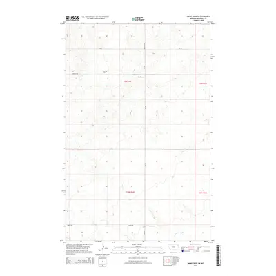
2014 Map of Smoke Creek SW
USGS Topo · Published 2014About this map
Zion Cem stands as a focal point for genealogical interest in this corner of the Brockton District, situated just north of the small settlement of Anderson. This 2014 survey documents the enduring pastoral character of Roosevelt County, where the landscape is organized by the Public Land Survey System into townships like t30n r52e and t29n r53e. The terrain is defined by the subtle drainage patterns of Lake Creek in the south, while a network of rural routes including Anderson Rd, Lawson Rd, and the primary north-south artery of Mt-344 (also labeled Brockton Rd) provides access to the isolated homesteads and ranch lands that characterize the High Plains region.
Find a feature on this map
11 named features on this map. Tap any name to fly to it.
Don’t see what you’re looking for? This feature index may not catch every label — zoom into the map to look around manually.
Map Details
Editions of this 2014 Smoke Creek SW Map
This is the sole edition of this map. No revisions or reprints were ever made.
Other maps of this area

1909 · Smoke Creek
USGS Topo · 1:62,500

1912 · Hay Creek
USGS Topo · 1:62,500

1912 · Poplar
USGS Topo · 1:62,500

1912 · Smoke Creek
USGS Topo · 1:62,500

1914 · Brockton
USGS Topo · 1:62,500

1950 · Coyote Coulee
USGS Topo · 1:24,000

1950 · Calais
USGS Topo · 1:24,000

1954 · Wolf Point
USGS Topo · 1:250,000

1958 · Wolf Point
USGS Topo · 1:250,000

1972 · Poplar NE
USGS Topo · 1:24,000