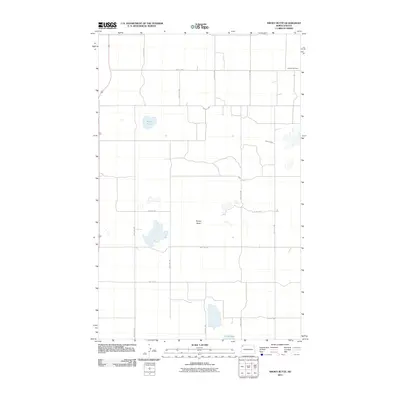
2011 Map of Smoky Butte
USGS Topo · Published 2011About this map
Herman Cemetery sits in the northeast corner of this Williams County landscape, serving as a quiet focal point for local genealogical interest. The terrain is characterized by the prominent elevation of Smoky Butte, which anchors the central portion of the quadrangle. Hydrological features like Musta Lake and Holm Lake interrupt the vast agricultural grid, indicating natural depressions in the prairie that collect seasonal runoff. This 2011 survey by the U.S. Geological Survey illustrates a sparsely populated region where the section line roads, including 134th Ave NW and 91st St NW, define the movement of equipment and inhabitants between scattered farmsteads. The intersection of Highway 85 and County Hwy-9 provides the primary transportation artery for this rural North Dakota community.
Find a feature on this map
19 named features on this map. Tap any name to fly to it.
Don’t see what you’re looking for? This feature index may not catch every label — zoom into the map to look around manually.
Map Details
Editions of this 2011 Smoky Butte Map
This is the sole edition of this map. No revisions or reprints were ever made.
Other maps of this area

1948 · Smoky Butte
USGS Topo · 1:24,000

1948 · Crosby SW
USGS Topo · 1:24,000

1948 · Stady
USGS Topo · 1:24,000

1948 · Bright Water Lake
USGS Topo · 1:24,000

1948 · Zahl
USGS Topo · 1:24,000

1950 · Crosby
USGS Topo · 1:62,500

1953 · Williston
USGS Topo · 1:250,000

1957 · Williston
USGS Topo · 1:250,000

1977 · Appam
USGS Topo · 1:24,000

1977 · Alamo
USGS Topo · 1:24,000