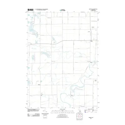
2011 Map of Smyrna
USGS Topo · Published 2011About this map
The Flat River carves a winding path through this portion of Ionia County, anchoring the small settlements of Smyrna and Alton. This landscape is defined by its glacial history, evidenced by a dense collection of kettle lakes such as Big Pine Island Lake, Slayton Lake, and Murray Lake in the western reaches. The distribution of small burying grounds, including Mason Cemetery, Otisco Cemetery, and Saint Mary's Catholic Cemetery, provides a clear map of early community centers and family settlements. Of particular note is the landmark Whites Bridge crossing the river, a site of enduring local significance. The road network, including 10 Mile Rd NE and 4 Mile Rd NE, follows a rigid grid that contrasts with the organic curves of the riverbanks and the shoreline of Hull Lake.
Find a feature on this map
50 named features on this map. Tap any name to fly to it.
Don’t see what you’re looking for? This feature index may not catch every label — zoom into the map to look around manually.
Map Details
Editions of this 2011 Smyrna Map
This is the sole edition of this map. No revisions or reprints were ever made.
Other maps of this area

1916 · Ionia
USGS Topo · 1:62,500

1918 · Ionia
USGS Topo · 1:62,500

1918 · Lowell
USGS Topo · 1:62,500

1943 · Ionia
USGS Topo · 1:62,500

1943 · Lowell
USGS Topo · 1:62,500

1954 · Midland
USGS Topo · 1:250,000

1958 · Midland
USGS Topo · 1:250,000

1958 · Grand Rapids
USGS Topo · 1:250,000

1959 · Midland
USGS Topo · 1:250,000

1961 · Grand Rapids
USGS Topo · 1:250,000