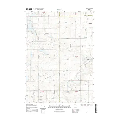
2017 Map of Smyrna
USGS Topo · Published 2017About this map
The Flat River winds through the heart of this landscape, anchoring the settlements of Smyrna and Moseley. This area, situated at the intersection of Kent, Montcalm, and Ionia Counties, is defined by its numerous glacial lakes and a transition from rural farmland to the outskirts of Belding. A significant modern feature is the Fred Meijer Flat River Valley Trail, which traces the path of an older transportation corridor across the river near the landmark Whites Bridge. Genealogists will find a high density of burial grounds throughout the countryside, including Otisco Cem, Mason Cem, and Saint Marys Catholic Cem near the riverbanks.
Find a feature on this map
84 named features on this map. Tap any name to fly to it.
Don’t see what you’re looking for? This feature index may not catch every label — zoom into the map to look around manually.
Map Details
Editions of this 2017 Smyrna Map
This is the sole edition of this map. No revisions or reprints were ever made.
Other maps of this area

1916 · Ionia
USGS Topo · 1:62,500

1918 · Ionia
USGS Topo · 1:62,500

1918 · Lowell
USGS Topo · 1:62,500

1943 · Ionia
USGS Topo · 1:62,500

1943 · Lowell
USGS Topo · 1:62,500

1954 · Midland
USGS Topo · 1:250,000

1958 · Midland
USGS Topo · 1:250,000

1958 · Grand Rapids
USGS Topo · 1:250,000

1959 · Midland
USGS Topo · 1:250,000

1961 · Grand Rapids
USGS Topo · 1:250,000