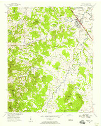
1957 Map of Smyrna
USGS Topo · Published 1958About this map
Smyrna anchors this Rutherford County landscape during a period of transition, where established agricultural traditions meet mid-century military expansion. The northeast corner is dominated by the Sewart Air Force Base, while the Nashville Chattanooga and St Louis Railway corridor maintains its role as a vital industrial artery. For local historians, the presence of the Sam Davis Home and numerous family cemeteries like the Mapleview Cem and Kimbro Cem provides a clear view of the area's deep-rooted lineage.
Find a feature on this map
80 named features on this map. Tap any name to fly to it.
Don’t see what you’re looking for? This feature index may not catch every label — zoom into the map to look around manually.
Map Details
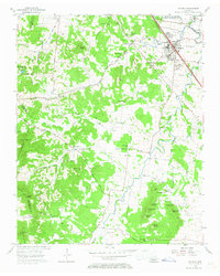
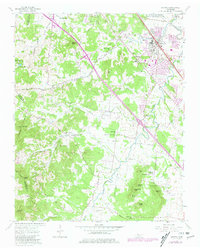
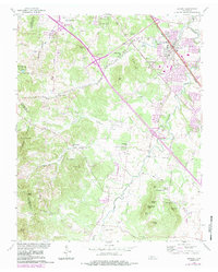
Editions of this 1957 Smyrna Map
4 editions found
Other maps of this area

1903 · Nashville
USGS Topo · 1:125,000

1916 · Murfreesboro
USGS Topo · 1:62,500

1932 · Hermitage
USGS Topo · 1:62,500

1942 · Lebanon
USGS Topo · 1:100,000

1950 · Walterhill
USGS Topo · 1:24,000

1950 · Murfreesboro
USGS Topo · 1:24,000

1952 · La Vergne
USGS Topo · 1:24,000

1952 · Antioch
USGS Topo · 1:24,000

1956 · Gladeville
USGS Topo · 1:24,000

1956 · Columbia
USGS Topo · 1:250,000