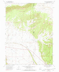
1968 Map of Snake John Reef
USGS Topo · Published 1978About this map
Snake John Reef anchors this high-desert landscape along the state boundary, where the geological uplift creates a distinctive natural barrier between Uintah County, Utah, and Moffat County, Colorado. Mapped in the late 1960s, the terrain is defined by dramatic ridges and deep erosional features like Buckwater Canyon and Miners Draw. Human presence is sparse, marked primarily by isolated homesteads such as the Jensen Cabin and K Ranch, along with scattered infrastructure including a pipeline and several drill holes reflecting resource exploration.
Find a feature on this map
32 named features on this map. Tap any name to fly to it.
Don’t see what you’re looking for? This feature index may not catch every label — zoom into the map to look around manually.
Map Details
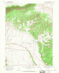
Editions of this 1968 Snake John Reef Map
2 editions found
Other maps of this area

1885 · Ashley
USGS Topo · 1:250,000

1907 · Rangely
USGS Topo · 1:125,000

1907 · Jensen
USGS Topo · 1:125,000

1910 · Jensen
USGS Topo · 1:125,000

1910 · Rangely
USGS Topo · 1:125,000

1954 · Hells Canyon
USGS Topo · 1:24,000

1954 · Vernal
USGS Topo · 1:250,000

1955 · Stuntz Reservoir
USGS Topo · 1:24,000

1955 · Split Mountain
USGS Topo · 1:24,000

1958 · Vernal
USGS Topo · 1:250,000