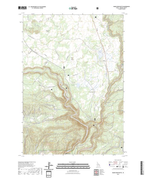
2024 Map of Snake River Butte
USGS Topo · Published 2024About this map
Henrys Fork Caldera and the Island Park Caldera dominate this volcanic landscape within the Targhee National Forest. The dramatic descent of the Henrys Fork river is marked by the spectacular Upper Mesa Falls and Lower Mesa Falls, while the eastern portion of the map is defined by the course of the Warm River and its numerous tributaries like Fish Creek.
Find a feature on this map
51 named features on this map. Tap any name to fly to it.
Don’t see what you’re looking for? This feature index may not catch every label — zoom into the map to look around manually.
Map Details
Editions of this 2024 Snake River Butte Map
This is the sole edition of this map. No revisions or reprints were ever made.
Other maps of this area

1955 · Ashton
USGS Topo · 1:250,000

1957 · Warm River Butte
USGS Topo · 1:62,500

1957 · Buffalo Lake
USGS Topo · 1:62,500

1958 · Ashton
USGS Topo · 1:250,000

1960 · Ashton
USGS Topo · 1:250,000

1964 · Hatchery Butte
USGS Topo · 1:24,000

1964 · Last Chance
USGS Topo · 1:24,000

1965 · Ashton
USGS Topo · 1:24,000

1965 · Lookout Butte
USGS Topo · 1:24,000

1965 · Snake River Butte
USGS Topo · 1:24,000