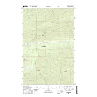
2017 Map of Snider Peak
USGS Topo · Published 2017About this map
The Olympic National Forest dominates this section of the peninsula, characterized by the deep Sol Duc Valley and its primary waterway, the Sol Duc River. This 2017 survey details the complex network of forest development roads, such as Nat For Dev Rd 30 and Nat For Dev Rd 29, which provide access to the timbered ridges and high points like Snider Peak and North Point. Recreational routes are visible through the Lookout Loop Trail and the Kloshe Nanitch path, marking the transition from industrial forest management to mountain hiking and conservation.
Find a feature on this map
60 named features on this map. Tap any name to fly to it.
Don’t see what you’re looking for? This feature index may not catch every label — zoom into the map to look around manually.
Map Details
Editions of this 2017 Snider Peak Map
This is the sole edition of this map. No revisions or reprints were ever made.
Other maps of this area

1918 · Lake Crescent
USGS Topo · 1:62,500

1922 · Pysht
USGS Topo · 1:62,500

1922 · Lake Crescent
USGS Topo · 1:62,500

1939 · Mount Tom
USGS Topo · 1:62,500

1942 · Pysht
USGS Topo · 1:62,500

1943 · Spruce Mountain
USGS Topo · 1:62,500

1943 · Copalis Beach
USGS Topo · 1:250,000

1950 · Mount Muller
USGS Topo · 1:24,000

1950 · Twin Rivers
USGS Topo · 1:24,000

1950 · Slide Peak
USGS Topo · 1:24,000