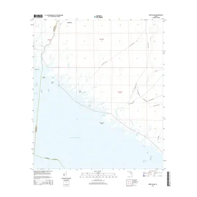
2015 Map of Snipe Island
USGS Topo · Published 2015About this map
The Aucilla River and Econfina River define this coastal reach of Taylor and Jefferson Counties, where the Florida shoreline meets the shallow waters of Apalachee Bay. This 2015 study traces a landscape of intricate tidal networks, including Double Sloughs and Big Bayou, that separate the mainland from isolated landforms like Possum Gap Island. The small settlement of Mandalay sits at the northwestern edge, while the inland forest is crisscrossed by an extensive network of specialized logging or access roads known as grades.
Find a feature on this map
42 named features on this map. Tap any name to fly to it.
Don’t see what you’re looking for? This feature index may not catch every label — zoom into the map to look around manually.
Map Details
Editions of this 2015 Snipe Island Map
This is the sole edition of this map. No revisions or reprints were ever made.
Other maps of this area

1949 · Apalachicola
USGS Topo · 1:250,000

1954 · Johnson Hammock
USGS Topo · 1:24,000

1954 · St. Marks NE
USGS Topo · 1:24,000

1954 · Cobb Rocks
USGS Topo · 1:24,000

1954 · Gainesville
USGS Topo · 1:250,000

1954 · Valdosta
USGS Topo · 1:250,000

1954 · Tallahassee
USGS Topo · 1:250,000

1955 · Snipe Island
USGS Topo · 1:24,000

1955 · Nutall Rise
USGS Topo · 1:24,000

1955 · Rock Islands
USGS Topo · 1:24,000