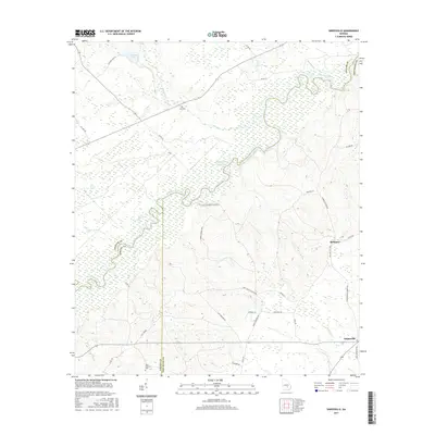
2017 Map of Snipesville
USGS Topo · Published 2017About this map
The Ocmulgee River meanders across this landscape, forming a natural boundary between Telfair, Jeff Davis, and Coffee counties. This 2017 survey illustrates a rural region defined by its complex hydrology, where river bends meet numerous oxbows and wetlands like Still Bay and Dan Bland Bay. The small settlements of Snipesville and Kirkland serve as the primary hubs for a network of local roads, many named for long-standing local families such as Dan Kirkland Rd and James Anderson Rd.
Find a feature on this map
43 named features on this map. Tap any name to fly to it.
Don’t see what you’re looking for? This feature index may not catch every label — zoom into the map to look around manually.
Map Details
Editions of this 2017 Snipesville Map
This is the sole edition of this map. No revisions or reprints were ever made.
Other maps of this area

1953 · Waycross
USGS Topo · 1:250,000

1958 · Waycross
USGS Topo · 1:250,000

1971 · Roper
USGS Topo · 1:24,000

1971 · Jacksonville NE
USGS Topo · 1:24,000

1971 · Snipesville
USGS Topo · 1:24,000

1971 · Broxton NE
USGS Topo · 1:24,000

1971 · Denton
USGS Topo · 1:24,000
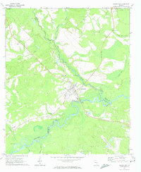
1971 · Lumber City
USGS Topo · 1:24,000

1972 · Broxton North
USGS Topo · 1:24,000

1972 · Jacksonville
USGS Topo · 1:24,000