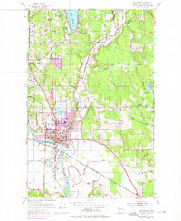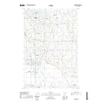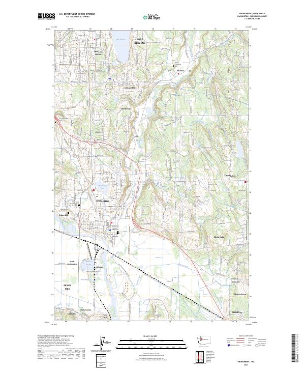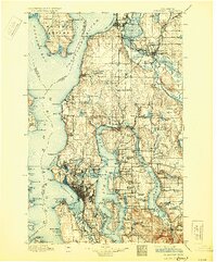
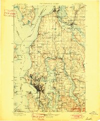
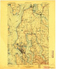
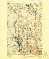
1897 Map of Snohomish
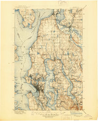
USGS Topo · Published 1930About this map
Seattle and the Puget Sound region appear here in the late 19th century, during a transformative period of railroad expansion and maritime development. The landscape is defined by the intricate waterways of Possession Sound and Elliott Bay, with a burgeoning network of rail lines including the Great Northern Railway and the Northern Pacific Railroad connecting timber hubs and coastal settlements. The urban core around Seattle shows early neighborhoods like Fremont, Ballard, and Ravenna, while the east side of Lake Washington remains largely defined by points of trade and transport like Kirkland and Redmond.
Find a feature on this map
176 named features on this map. Tap any name to fly to it.
Don’t see what you’re looking for? This feature index may not catch every label — zoom into the map to look around manually.
Map Details
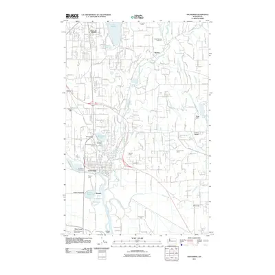
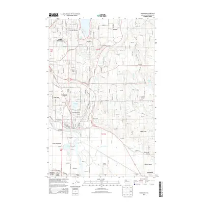
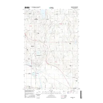
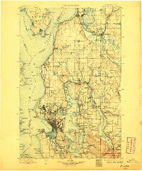
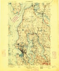
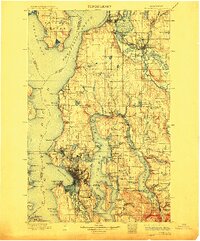
Editions of this 1897 Snohomish Map
10 editions found

1897 edition
14.59 x 20.6 inches
1901 edition
16.56 x 19.94 inches
1904 edition
16.55 x 19.92 inches
1906 edition
16.58 x 19.93 inches
1909 edition
16.54 x 19.93 inches
1912 edition
16.57 x 19.95 inches

1918 edition
16.54 x 19.88 inches
1930 edition
16.56 x 19.95 inches
1940 edition
16.55 x 19.95 inches
1945 edition
17.1 x 21 inches
Historical Maps of Seattle Through Time
8 maps found