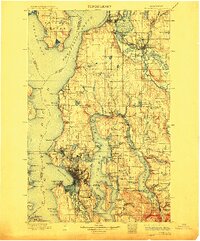
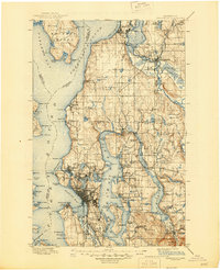
1897 Map of Snohomish
USGS Topo · Published 1912About this map
Seattle and its burgeoning satellite communities occupy the center of this late nineteenth-century survey, long before the construction of the Lake Washington Ship Canal. At this time, the city is bounded by Elliott Bay and Lake Washington, while independent northern towns like Ballard and Fremont maintain their own identities. Along the Snohomish River, the industrial centers of Everett and Snohomish serve as critical hubs for the region's timber and rail economy.
Find a feature on this map
156 named features on this map. Tap any name to fly to it.
Don’t see what you’re looking for? This feature index may not catch every label — zoom into the map to look around manually.
Map Details
Editions of this 1897 Snohomish Map
10 editions found

1897 edition
14.59 x 20.6 inches
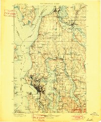
1901 edition
16.56 x 19.94 inches
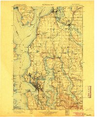
1904 edition
16.55 x 19.92 inches
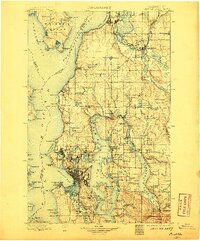
1906 edition
16.58 x 19.93 inches
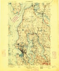
1909 edition
16.54 x 19.93 inches
1912 edition
16.57 x 19.95 inches
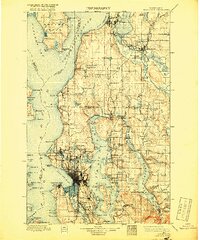
1918 edition
16.54 x 19.88 inches
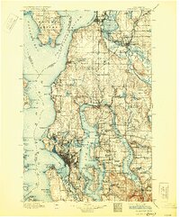
1930 edition
16.56 x 19.95 inches
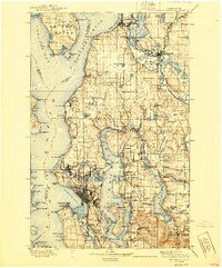
1940 edition
16.55 x 19.95 inches
1945 edition
17.1 x 21 inches
Other maps of this area

1894 · Seattle
USGS Topo · 1:62,500

1895 · Snohomish
USGS Topo · 1:125,000

1897 · Tacoma
USGS Topo · 1:125,000
1897 · Seattle
USGS Topo · 1:125,000

1899 · Stillaguamish
USGS Topo · 1:125,000

1900 · Tacoma
USGS Topo · 1:125,000

1901 · Stilaguamish
USGS Topo · 1:125,000

1908 · Seattle
USGS Topo · 1:62,500

1909 · Seattle Special
USGS Topo · 1:62,500

1911 · Mount Vernon
USGS Topo · 1:125,000