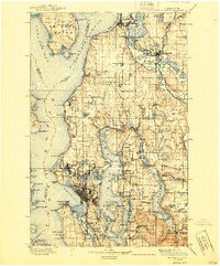
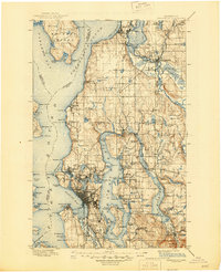
1897 Map of Snohomish
USGS Topo · Published 1940About this map
Everett and the industrial corridors of the late 19th century define this coastal and riverine landscape. The Snohomish River serves as a vital artery, supporting settlements like Lowell and Snohomish while connecting the inland valley to Port Gardner. This era's rapid expansion is visible through an extensive rail network, including the Great Northern R.R. and the Northern Pacific R.R., which bypassed older water-based transit patterns to link the Puget Sound to the interior.
Find a feature on this map
197 named features on this map. Tap any name to fly to it.
Don’t see what you’re looking for? This feature index may not catch every label — zoom into the map to look around manually.
Map Details
Editions of this 1897 Snohomish Map
10 editions found

1897 edition
14.59 x 20.6 inches
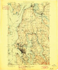
1901 edition
16.56 x 19.94 inches
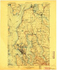
1904 edition
16.55 x 19.92 inches
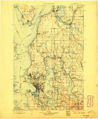
1906 edition
16.58 x 19.93 inches
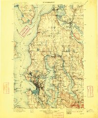
1909 edition
16.54 x 19.93 inches
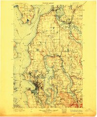
1912 edition
16.57 x 19.95 inches
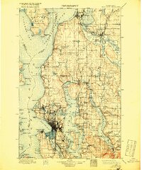
1918 edition
16.54 x 19.88 inches
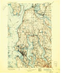
1930 edition
16.56 x 19.95 inches
1940 edition
16.55 x 19.95 inches
1945 edition
17.1 x 21 inches
Other maps of this area

1894 · Seattle
USGS Topo · 1:62,500

1895 · Snohomish
USGS Topo · 1:125,000

1897 · Tacoma
USGS Topo · 1:125,000
1897 · Seattle
USGS Topo · 1:125,000

1899 · Stillaguamish
USGS Topo · 1:125,000

1900 · Tacoma
USGS Topo · 1:125,000

1901 · Stilaguamish
USGS Topo · 1:125,000

1908 · Seattle
USGS Topo · 1:62,500

1909 · Seattle Special
USGS Topo · 1:62,500

1911 · Mount Vernon
USGS Topo · 1:125,000