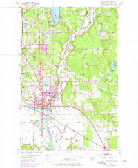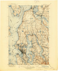
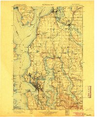
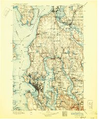
1897 Map of Snohomish
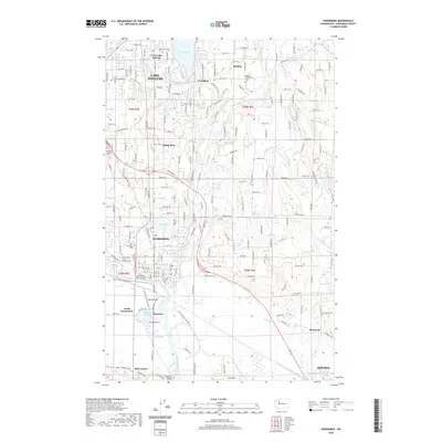
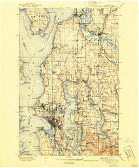
USGS Topo · Published 1945About this map
The Seattle waterfront and the burgeoning lumber hub of Everett anchor this late-19th-century survey of the Puget Sound's eastern shoreline. This is an era of rapid rail expansion, where the Great Northern Railway and the Northern Pacific Railroad have begun to reshape the timbered interior. Industrial centers like Snohomish and Lowell sit along the complex river systems of the Snohomish River and Steamboat Slough, while independent towns like Ballard, Fremont, and Ravenna remain distinct municipalities on the outskirts of Seattle.
Find a feature on this map
173 named features on this map. Tap any name to fly to it.
Don’t see what you’re looking for? This feature index may not catch every label — zoom into the map to look around manually.
Map Details
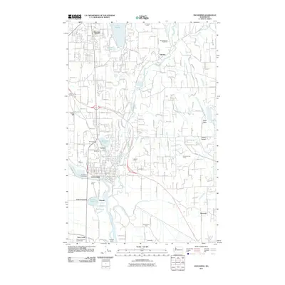
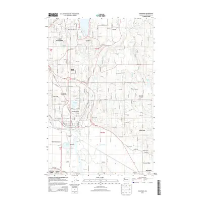
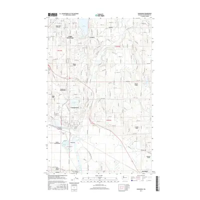
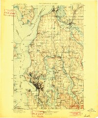
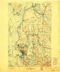
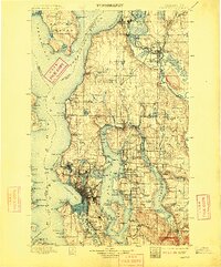
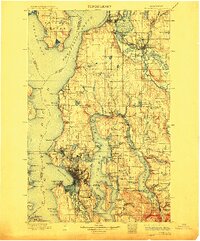
Editions of this 1897 Snohomish Map
10 editions found

1897 edition
14.59 x 20.6 inches
1901 edition
16.56 x 19.94 inches
1904 edition
16.55 x 19.92 inches
1906 edition
16.58 x 19.93 inches
1909 edition
16.54 x 19.93 inches
1912 edition
16.57 x 19.95 inches

1918 edition
16.54 x 19.88 inches
1930 edition
16.56 x 19.95 inches
1940 edition
16.55 x 19.95 inches
1945 edition
17.1 x 21 inches
Historical Maps of Seattle Through Time
8 maps found